What’s inside:
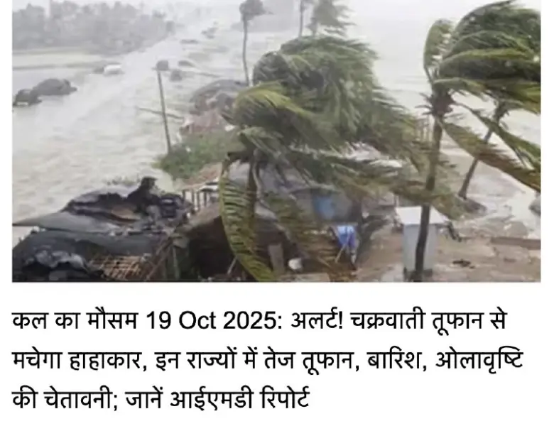
This article talks about a new low-pressure area forming in the Bay of Bengal and its expected impacts on weather across various states in India.
A new low-pressure area is likely to form in eastern India, particularly in the Bay of Bengal, around October 21. It is expected to move towards the west-northwest and could affect the weather in the next 2-3 days.
Due to this system, regions like Konkan, Marathwada, South-Central Maharashtra, and Lakshadweep are at risk of heavy rains, storms, and high waves. An active low-pressure area has already formed off the coasts of Lakshadweep, Kerala, Tamil Nadu, and Puducherry, which may also lead to severe weather in the coming hours.
People in the southeastern Bay of Bengal should be prepared for potential heavy rains and storms, especially in West Bengal, Odisha, and Andhra Pradesh. South-Central Maharashtra, Konkan, and Goa may experience thunderstorms and lightning in the next few days. Coastal areas such as Lakshadweep, Kerala, Tamil Nadu, and Puducherry should be cautious of strong winds and high waves.
It’s important to keep an eye on weather updates from local authorities. Those living in coastal regions, riverbanks, or open areas should take extra care. If you have travel plans, consider altering them based on the expected stormy weather. Fishermen and sailors are advised to avoid going out to sea.
In the coming days, expect heavy rains and strong winds in affected areas. Stay updated on the weather conditions and follow safety guidelines issued by local authorities.
Summary:
- A new low-pressure area is forming in the Bay of Bengal.
- Heavy rains and storms are expected in several states.
- Coastal areas need to be cautious of high waves and strong winds.
- Stay updated on weather conditions and safety guidelines.
- Consider changing travel plans based on weather forecasts.


